


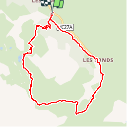

15.2 km | 31 km-effort


User


FREE GPS app for hiking
 SityTrail
IGN / Geographical institutes
SityTrail World
The world is yours!
Trail Walking of 11.4 km to be discovered at Provence-Alpes-Côte d'Azur, Hautes-Alpes, Cervières. This trail is proposed by jmc63.
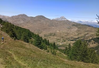
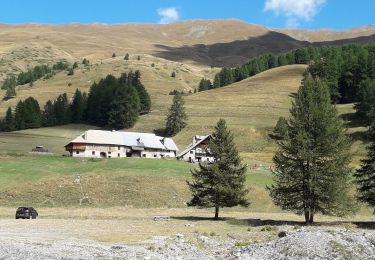
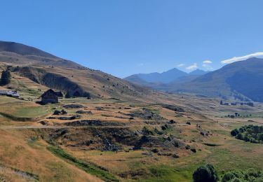
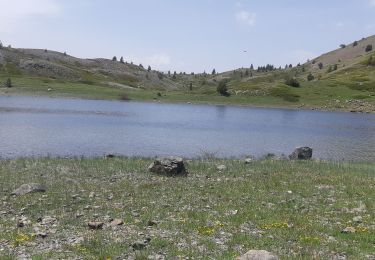
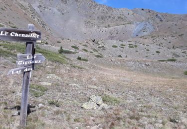
Parking au Bourgea, montée au lac des Cordes, puis au lac des Maïts pour arriver au col des Marsailles (2600 m. Longue descente vers Les Fonts et retour à la voiture par une piste longeant le torrent

Walking

Walking
Walking
Walking
Walking
Walking
Walking
Winter toboggan
Walking