


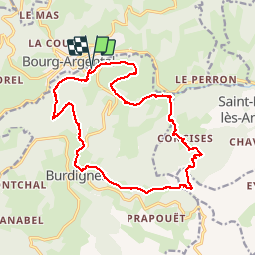

34 km | 50 km-effort

User


FREE GPS app for hiking
 SityTrail
IGN / Geographical institutes
SityTrail World
The world is yours!
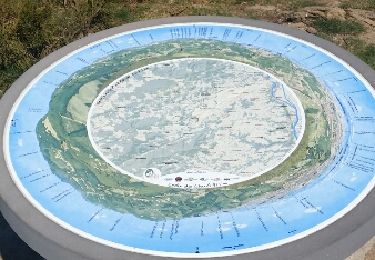
Trail Other activity of 18.4 km to be discovered at Auvergne-Rhône-Alpes, Loire, Burdignes. This trail is proposed by bpc.
rando sur l'ancienne voie ferrée


Mountain bike
On foot
Walking
Walking

Walking

Walking
Walking
Walking

Nordic walking