


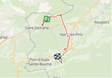

11.8 km | 15.5 km-effort


User


FREE GPS app for hiking
 SityTrail
IGN / Geographical institutes
SityTrail World
The world is yours!
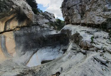
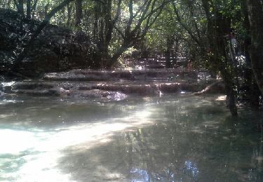
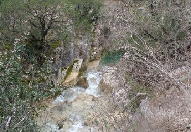
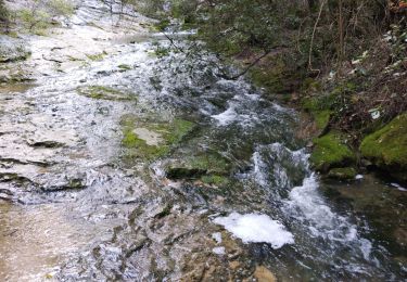
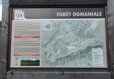
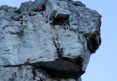
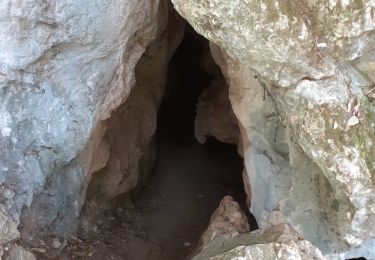
Trail Other activity of 18.3 km to be discovered at Provence-Alpes-Côte d'Azur, Var, Saint-Zacharie. This trail is proposed by servemichel.
Variante de la 7ème étape. Sortie St Zacharie grotte de Marie Madeleine par Nans les Pins.

Mountain bike

Walking
Walking
Walking
Walking
Walking
Walking
Walking
Walking