


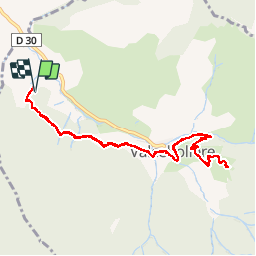

11.8 km | 18.2 km-effort


User


FREE GPS app for hiking
 SityTrail
IGN / Geographical institutes
SityTrail World
The world is yours!
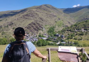
Trail Walking of 11.3 km to be discovered at Occitania, Pyrénées-Orientales, Valcebollère. This trail is proposed by crijack.
Petite randonnée sympa après un départ assez sec


Walking
Walking

Walking

Walking

Snowshoes
Walking

Walking

Snowshoes

Snowshoes