


18.5 km | 37 km-effort


Randonnées de Vélo Loisir Provence GUIDE+


FREE GPS app for hiking
 SityTrail
IGN / Geographical institutes
SityTrail World
The world is yours!
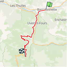
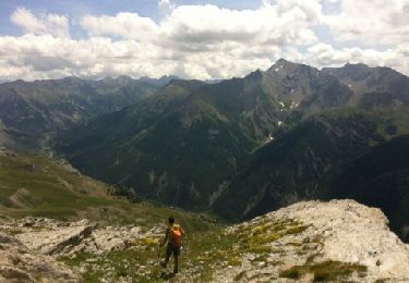
Trail Mountain bike of 19.2 km to be discovered at Provence-Alpes-Côte d'Azur, Alpes-de-Haute-Provence, Barcelonnette. This trail is proposed by Vélo Loisir Provence.
Liaison non balisée entre Barcelonnette et Le Col d'Allos, lieu de départ de la Transverdon.
Walking
Walking
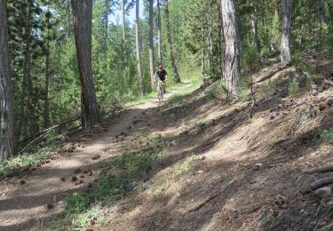
Mountain bike
Walking
Walking

Walking
Walking
Walking
Walking