


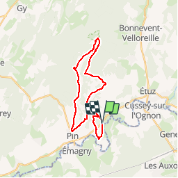

22 km | 25 km-effort


User


FREE GPS app for hiking
 SityTrail
IGN / Geographical institutes
SityTrail World
The world is yours!
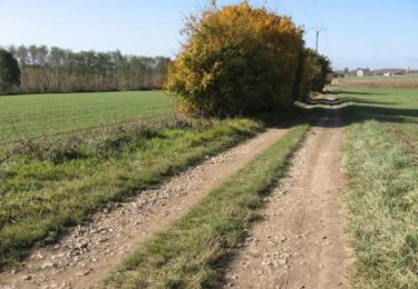
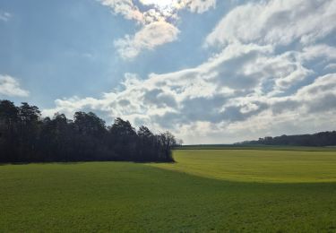
Trail Mountain bike of 24 km to be discovered at Bourgogne-Franche-Comté, Haute-Saône, Vregille. This trail is proposed by Tvuillem.
Gezier-FermeCourbey-Fontenelay-Pin-Vregille
Note: Peu de route, chemin blanc et single dans les bois
Walking
Walking
Walking

Walking
Mountain bike
Walking
Walking
Mountain bike
Walking