


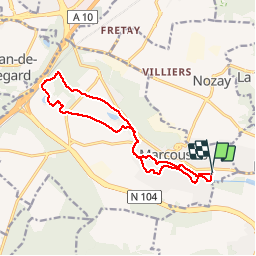

15.5 km | 19.1 km-effort


User


FREE GPS app for hiking
 SityTrail
IGN / Geographical institutes
SityTrail World
The world is yours!
Trail Walking of 13.6 km to be discovered at Ile-de-France, Essonne, Marcoussis. This trail is proposed by aubr.
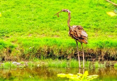
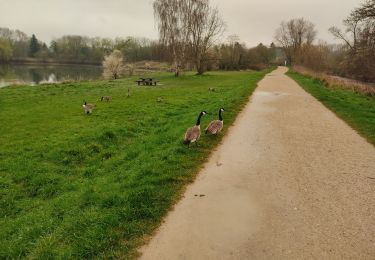
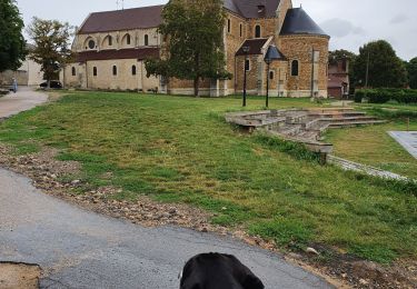
Ce circuit suit la Salmouille, petite rivière qui traverse Marcoussis et en principe il suit le fléchage jaune mais pas toujours surtout dans sa partie distale
Walking
Walking
Walking

Walking
Walking
Walking
Walking
Walking
Walking