


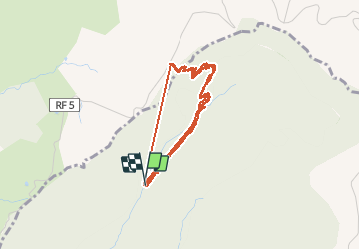

11.4 km | 13.7 km-effort


User


FREE GPS app for hiking
 SityTrail
IGN / Geographical institutes
SityTrail World
The world is yours!
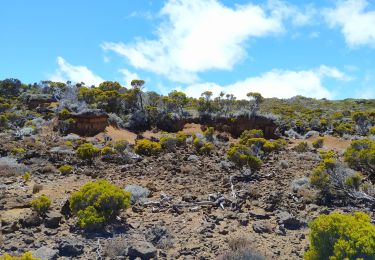
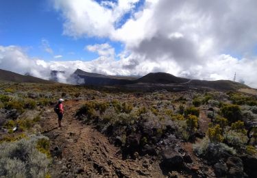
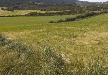
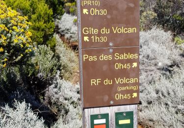
Trail Walking of 8.4 km to be discovered at Réunion, Unknown, Saint-Joseph. This trail is proposed by olive2b.
Retour plus dur que l'aller, normal, ça monte. Alors prendre son temps.


Other activity

Walking

Walking
Walking
Walking
Walking
Walking
Walking
Walking