


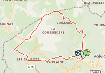

5.5 km | 7.2 km-effort

User GUIDE


FREE GPS app for hiking
 SityTrail
IGN / Geographical institutes
SityTrail World
The world is yours!
Trail Walking of 10.5 km to be discovered at Auvergne-Rhône-Alpes, Puy-de-Dôme, Volvic. This trail is proposed by jagarnier.
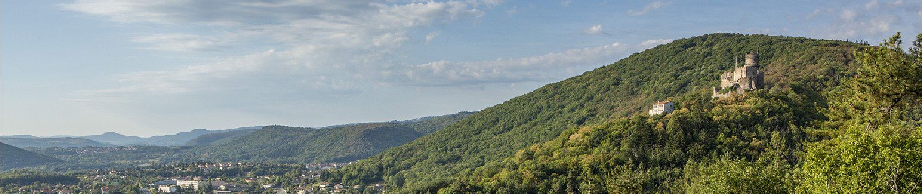
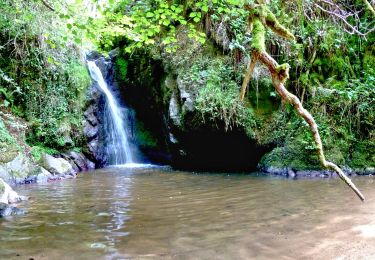
Longue montée par des chemins secrets qui lentement s'ouvrent sur la chaîne des puys, le hameau de Moulet-Marcenat et le château de Tournoël. Ensuite vous replongerez vers la fraicheur des sources de Volvic.

Walking
Walking
Walking
Walking

Walking

Walking

Walking

Mountain bike

Walking