


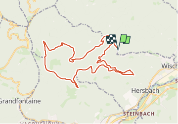


12 km | 19.5 km-effort


Promouvoir le Tourisme Equestre en Alsace GUIDE+


FREE GPS app for hiking
 SityTrail
IGN / Geographical institutes
SityTrail World
The world is yours!
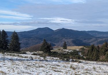
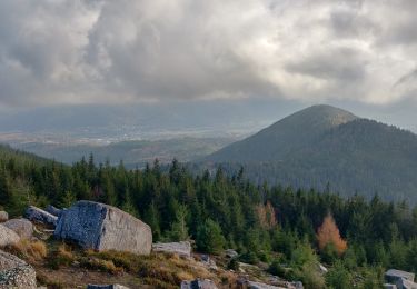
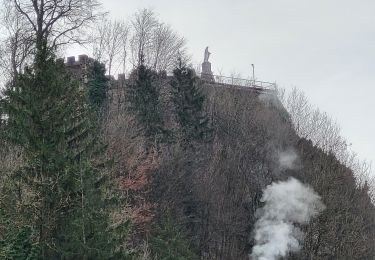
Trail Equestrian of 19.8 km to be discovered at Grand Est, Bas-Rhin, Lutzelhouse. This trail is proposed by Tourisme Equestre Alsace.
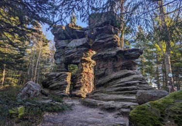
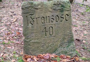
Boucle au départ et à l'arrivée du parking de la nécropole nationale de Wisches en passant par le sentier des Géants et ses nombreuses sculptures avec la pause repas à l'abri du Colbery avec sa barre d'attache


Walking
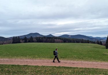
Walking
Walking
Walking
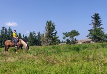
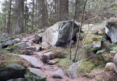
Horseback riding
Walking

Horseback riding
Walking
Walking