


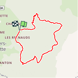


12.3 km | 25 km-effort

User


FREE GPS app for hiking
 SityTrail
IGN / Geographical institutes
SityTrail World
The world is yours!
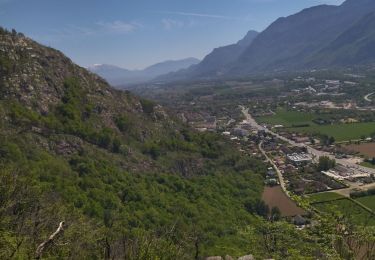
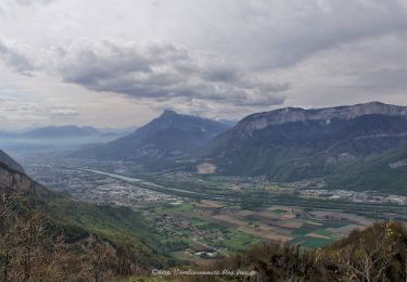
Trail Walking of 9.1 km to be discovered at Auvergne-Rhône-Alpes, Isère, La Sure en Chartreuse. This trail is proposed by patjobou.
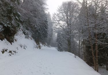
A faire par temps sec; Bons sentiers bien tracés; il vaut mieux tourner dans le sens de la trace: Pas de l'Aronde, Charminelle, Pas de la miséricorde.
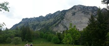
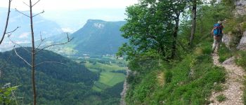
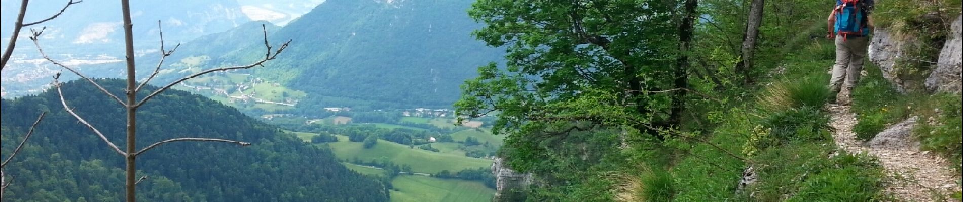
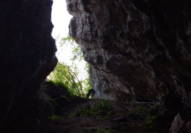
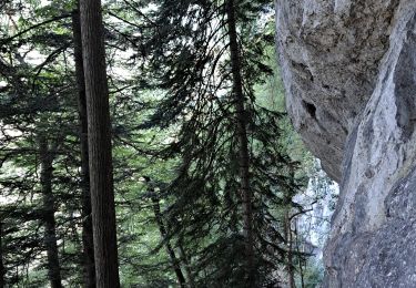
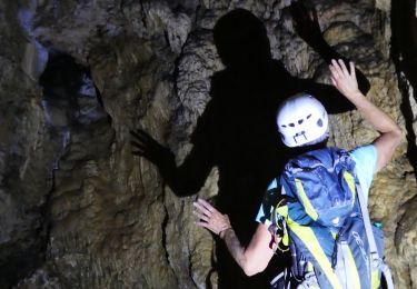
Parcours très ombragé


Walking

Electric bike
Walking
Walking
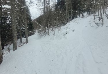
Touring skiing
Walking
Walking
Walking
Walking