


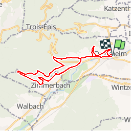

11.7 km | 17.7 km-effort


User


FREE GPS app for hiking
 SityTrail
IGN / Geographical institutes
SityTrail World
The world is yours!
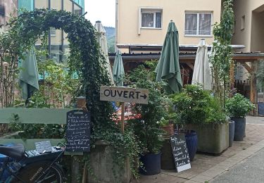
Trail Running of 14.7 km to be discovered at Grand Est, Haut-Rhin, Turckheim. This trail is proposed by zazie.
Découverte de la flore et des villages par les hauts et vaux. Des bancs sont présents le long du parcours. A faire en course ou en marchant. Accès famille et poussette Trial possible
Walking

Walking

Walking
Walking

Mountain bike

Walking
Walking

On foot
Road bike