


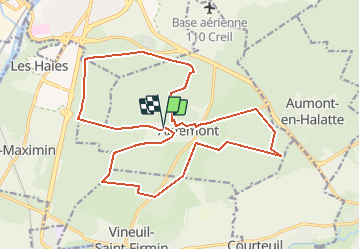


43 km | 51 km-effort


User


FREE GPS app for hiking
 SityTrail
IGN / Geographical institutes
SityTrail World
The world is yours!
Trail Walking of 20 km to be discovered at Hauts-de-France, Oise, Apremont. This trail is proposed by dartoisclaude.
APREMONT 60300 Grand parcours

Mountain bike

Walking

On foot
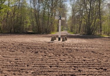
Walking

Mountain bike
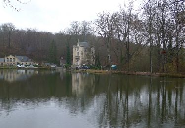
Walking

Walking
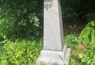
Walking

Walking