


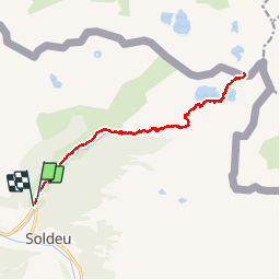

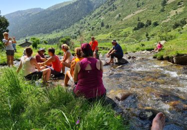
11 km | 21 km-effort


User


FREE GPS app for hiking
 SityTrail
IGN / Geographical institutes
SityTrail World
The world is yours!
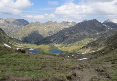
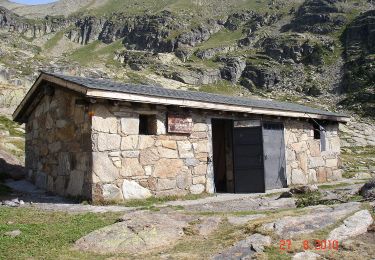
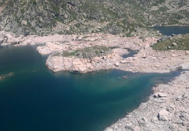
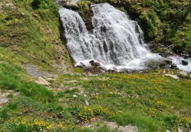
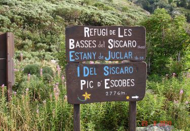
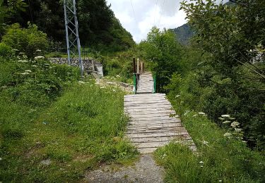
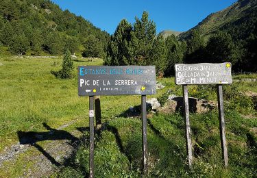
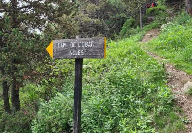
Trail Other activity of 17.6 km to be discovered at Andorra. This trail is proposed by fabtlsm.
Walking
super