Trail Mountain bike Mendionde - 64-Baïgura-20110911 - Photo
 Gus64
Gus64

User

© OpenStreetMap contributors
Length
Length
30 km
Max alt
Max alt
885 m
Uphill gradient
Uphill gradient
1059 m
Km-Effort
Km-Effort  
44 km
Min alt
Min alt
114 m
Downhill gradient
Downhill gradient
1065 m
Boucle
Boucle
Yes
Creation date :
2014-12-10 00:00:00.0
Updated on :
2014-12-10 00:00:00.0

(0 Reviews)

Mountain bike
Mountain bike
3h10
Difficulty : Difficult

Scan this QR Code to open this trail in the SityTrail application

FREE GPS app for hiking

Logo SityTrail SityTrail

IGN / Geographical institutes

Download SityTrail from the App Store Download SityTrail from Google Play

Logo SityTrail SityTrail World

The world is yours!

Download SityTrail from the App Store Download SityTrail from Google Play Download SityTrail on Huawei AppGallery

About

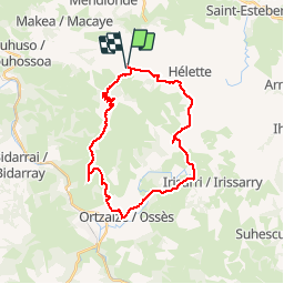
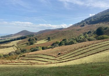
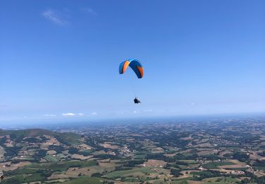
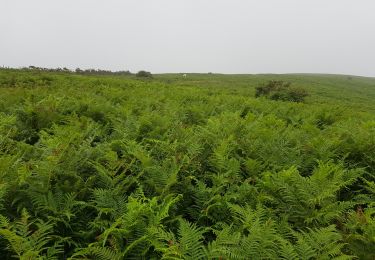
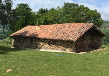
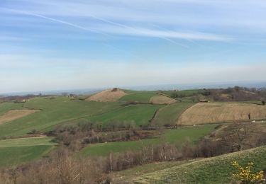
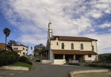
Trail Mountain bike of 30 km to be discovered at New Aquitaine, Pyrénées-Atlantiques, Mendionde. This trail is proposed by Gus64.

Description

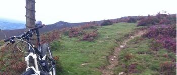
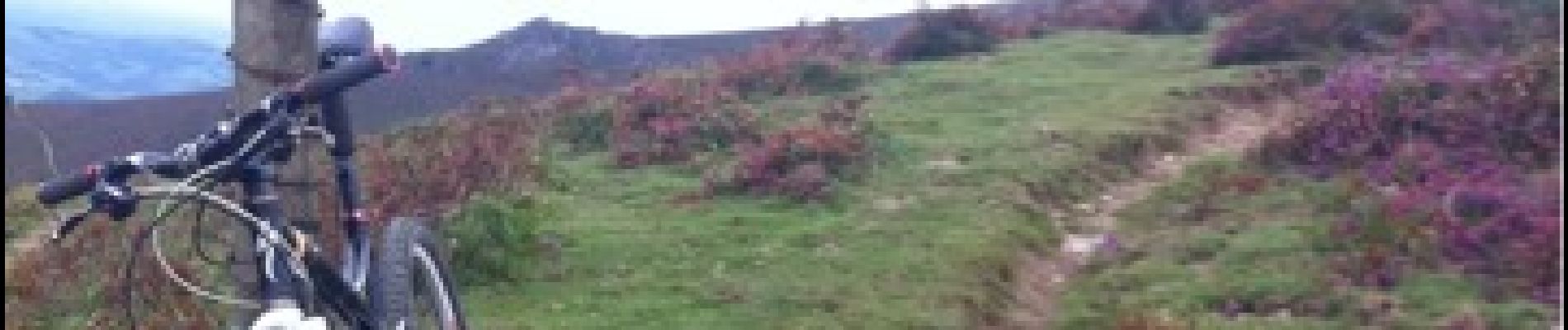
Montée par la piste-belle trace ensuite jusqu'à Osses-chemin de st jacques pour rentrer

Elevation profile

Photos

Points of interest

Point of interest Ossès - Point 1 - Photo
Gus64
OSSÈS 

Positioning

Country:
France
Region :
New Aquitaine
Department/Province :
Pyrénées-Atlantiques
Municipality :
Mendionde
Location:
Unknown
Start:(UTM)
639249 ; 4796727 (30T) N.

Trails nearby

Trail Walking Macaye - Mont Baigura  - Photo
Walking
GUIDE
antignacs

Walking

Medium
Macaye, New Aquitaine, Pyrénées-Atlantiques, France
14.6 km | 27 km-effort
5h 9min
Yes
Trail Walking Macaye - Baigura en Boucle 31/07/2022 - Photo
Walking
jaja64

Walking

Medium
Macaye, New Aquitaine, Pyrénées-Atlantiques, France
12.4 km | 22 km-effort
4h 53min
Yes
Trail Walking Mendionde - le mont baïgura  - Photo
Walking
phiphidechagny

Walking

Medium
Mendionde, New Aquitaine, Pyrénées-Atlantiques, France
16.6 km | 0 m-effort
4h 30min
Yes
Trail Walking Macaye - Baigura boucle - Photo
Walking
jaja64

Walking

Medium
(1)
Macaye, New Aquitaine, Pyrénées-Atlantiques, France
12.2 km | 22 km-effort
4h 3min
Yes
Trail Walking Mendionde - N’augura - Photo
Walking
jaja64

Walking

Medium
Mendionde, New Aquitaine, Pyrénées-Atlantiques, France
10.6 km | 18.9 km-effort
3h 38min
No
Trail Walking Mendionde - Mont Baïgura - Photo
Walking
claudel

Walking

Very easy
(1)
Mendionde, New Aquitaine, Pyrénées-Atlantiques, France
9.6 km | 17.9 km-effort
3h 42min
Yes
Trail Equestrian Hélette - Hélette - St Martin d'Arbéroue - Photo
Equestrian
tracegps

Equestrian

Difficult
Hélette, New Aquitaine, Pyrénées-Atlantiques, France
15.6 km | 22 km-effort
3h 0min
No
Trail Walking Mendionde - trizais - Photo
Walking
penaud

Walking

Very difficult
Mendionde, New Aquitaine, Pyrénées-Atlantiques, France
294 km | 334 km-effort
2h 36min
No
Trail Walking Mendionde - Mont Baïgura et Erregelu depuis parking de Bordaberria - Photo
Walking
DECHAMPD

Walking

Very difficult
Mendionde, New Aquitaine, Pyrénées-Atlantiques, France
8.2 km | 16.1 km-effort
5h 35min
Yes


Close
My subscriptions