


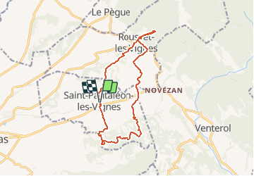

38 km | 45 km-effort


User


FREE GPS app for hiking
 SityTrail
IGN / Geographical institutes
SityTrail World
The world is yours!
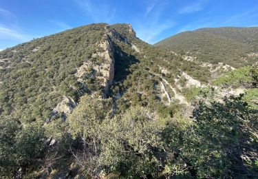
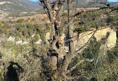
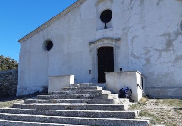
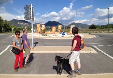
Trail Other activity of 15.1 km to be discovered at Auvergne-Rhône-Alpes, Drôme, Saint-Pantaléon-les-Vignes. This trail is proposed by celste.
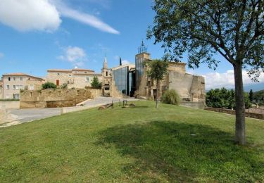
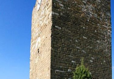
avec chapelle de rousset
Cycle
Walking
Walking
Walking
Walking

Walking

Mountain bike
Walking
Walking