


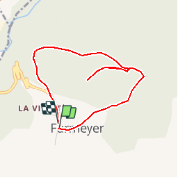


9.1 km | 14.9 km-effort

Les Hautes Alpes à découvrir ! GUIDE+


FREE GPS app for hiking
 SityTrail
IGN / Geographical institutes
SityTrail World
The world is yours!
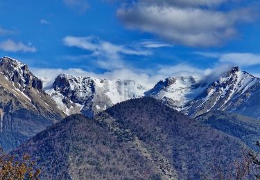
Trail Walking of 4 km to be discovered at Provence-Alpes-Côte d'Azur, Hautes-Alpes, Furmeyer. This trail is proposed by Camping Les Rives du Lac.
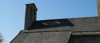
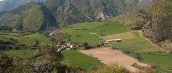
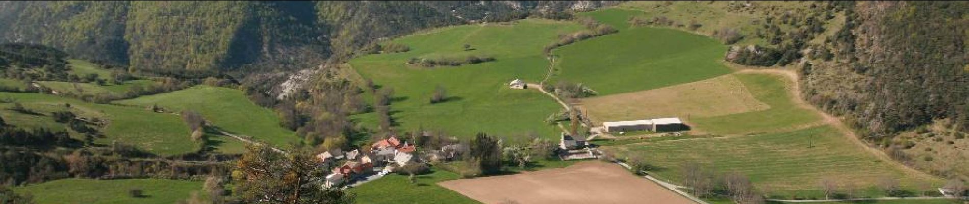
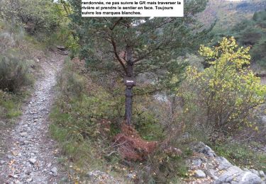
Family hike. It is best to do it starting towards the Northwest for more shaded rise. Remarkable contrast between the southern slopes Provencal style and the northern slopes of Alpine-type. Enjoy the small chapel of Furmeyer. We recommend that you & rsquo; & rsquo go up; the standpoint of the Mine Garcine, where you will find benches to rest !


Walking
Walking
Walking

Mountain bike

Mountain bike
Mountain bike
Walking

Walking
Walking