


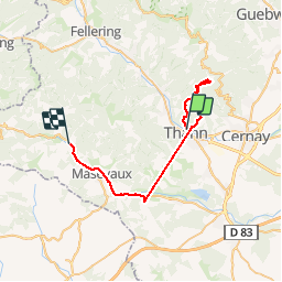

33 km | 64 km-effort


User


FREE GPS app for hiking
 SityTrail
IGN / Geographical institutes
SityTrail World
The world is yours!
Trail Walking of 34 km to be discovered at Grand Est, Haut-Rhin, Thann. This trail is proposed by helmut68.
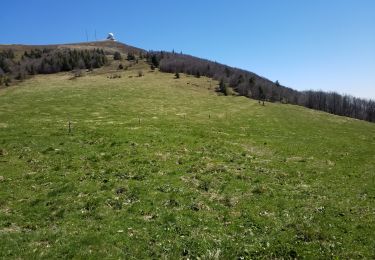
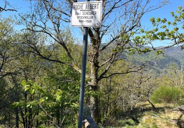
Partie du GR531,raide au début à deux endroits, puis agréable par la suite. Splendide vue au sommet du Molkenrein, puis retour par des petits sentiers jusqu'à la la Croix de Thann. là il faut se poser, une vue sur Thann et environs...


Other activity

Walking

Walking

On foot
Walking
Walking
Walking
Walking
Walking