


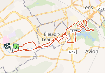

52 km | 61 km-effort

User


FREE GPS app for hiking
 SityTrail
IGN / Geographical institutes
SityTrail World
The world is yours!
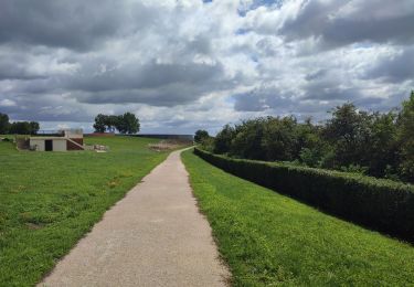
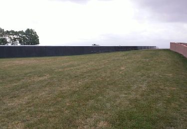
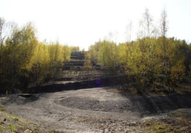
Trail Other activity of 11 km to be discovered at Hauts-de-France, Pas-de-Calais, Liévin. This trail is proposed by crijack.
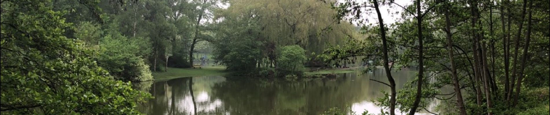
Circuit entre la ville de Liévin et Eleu-dit-Lauwette. Alterneront parcours dans les bois en plaine et autour de point d'eau avec très peu de passage en ville


Walking
Walking
Walking

Other activity

Walking
Walking
Walking
Walking
Walking