


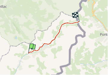

16.7 km | 31 km-effort


User


FREE GPS app for hiking
 SityTrail
IGN / Geographical institutes
SityTrail World
The world is yours!
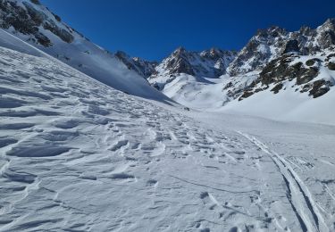
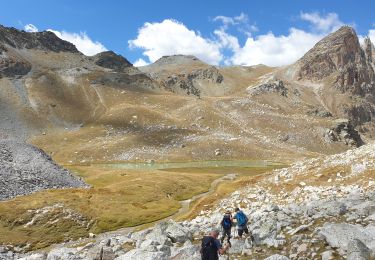
Trail Walking of 16.5 km to be discovered at Provence-Alpes-Côte d'Azur, Alpes-de-Haute-Provence, Saint-Paul-sur-Ubaye. This trail is proposed by PatDev.
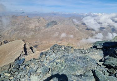
Randonnée facile entre le village de Maljasset et le col Longet à la frontière italienne. Environ 800-900 m de dénivelé positive en montée généralement assez douce par pallier. Côté italien, passé les lacs, on retrouve un multitude de kern ainsi que des ruines de bâtiments militaires.

Walking
Walking

Walking
Walking
Walking
Walking
Walking
Touring skiing
Walking