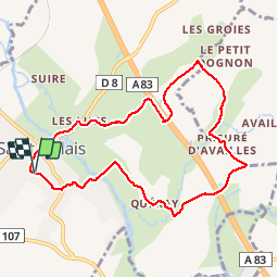


6.5 km | 7.2 km-effort

User


FREE GPS app for hiking
 SityTrail
IGN / Geographical institutes
SityTrail World
The world is yours!
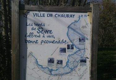
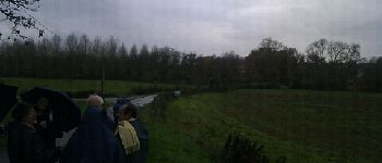
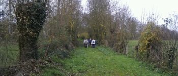
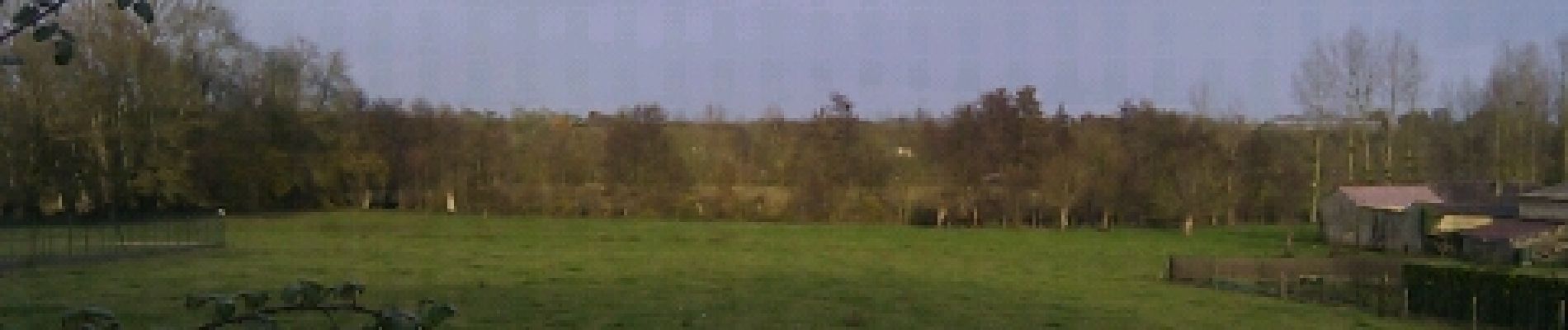
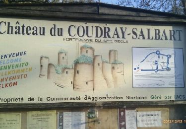
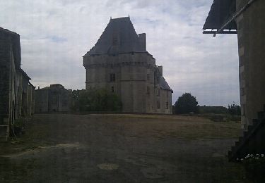
Trail Walking of 8.9 km to be discovered at New Aquitaine, Deux-Sèvres, Saint-Gelais. This trail is proposed by olaze.
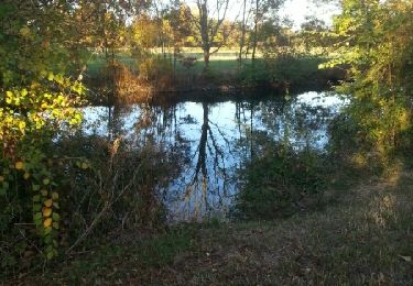
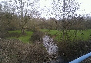
Promenade dans la campagne au départ de St Gelais.Valloné.Sèvres Niortaise.
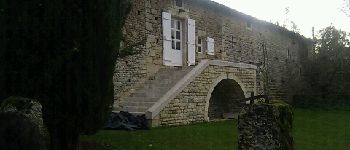
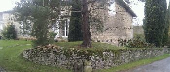
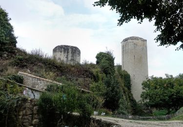
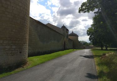
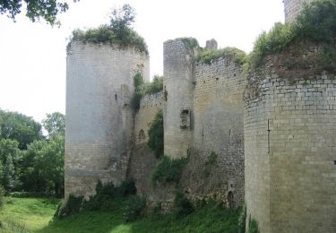
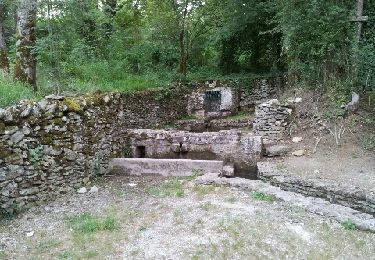
Prieuré d''Availles.
Club rando Bessines.

Walking
Mountain bike
Walking
Walking
Walking
Walking
Walking
Mountain bike