


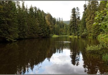
6.5 km | 7 km-effort
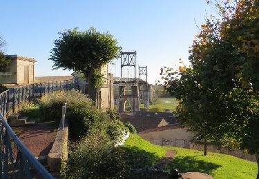
Walking
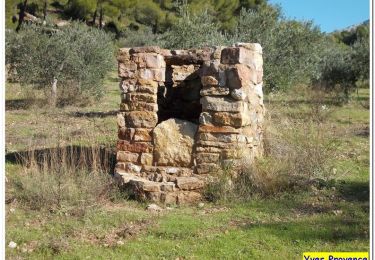
Walking
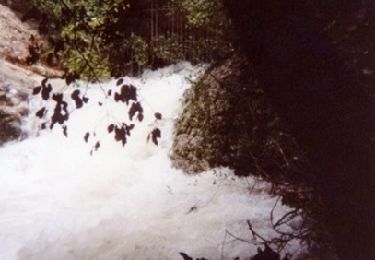
Walking
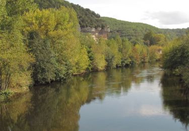
Mountain bike

Walking

Cycle
Cycle

Cycle
Cycle
Cycle
Cycle
Mountain bike
Mountain bike
Walking
Cycle

Mountain bike

Walking
Walking
Walking
Walking
Walking