


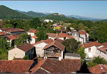
61 km | 88 km-effort
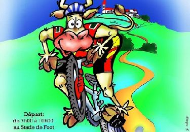
V.T.T.
V.T.T.
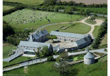
Vélo
V.T.T.
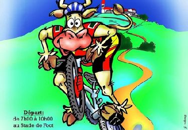
V.T.T.

V.T.T.

Marche
Marche
Marche
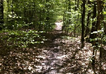
Marche
V.T.T.
V.T.T.
Marche
Marche
V.T.T.
Marche
Marche
V.T.T.
V.T.T.
V.T.T.
Marche