


34 km | 39 km-effort
V.T.T.
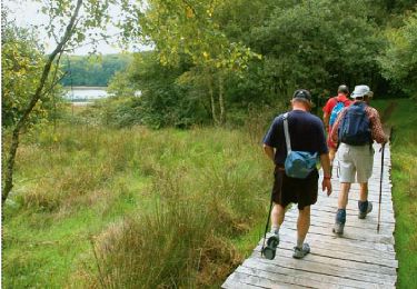
Marche
Marche
Marche
Marche
Marche
Marche
Marche

Marche
Marche
Marche
Marche
Marche
V.T.T.
Marche
Cheval

V.T.T.

Marche
Vélo
Marche
V.T.T.