


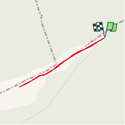


13.1 km | 21 km-effort

Les Hautes Alpes à découvrir ! GUIDE+


FREE GPS app for hiking
 SityTrail
IGN / Geographical institutes
SityTrail World
The world is yours!
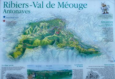
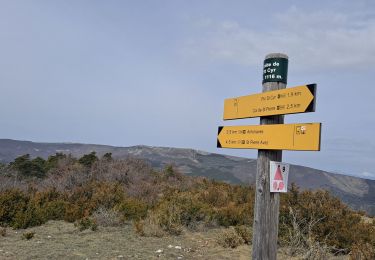
Trail Walking of 2.8 km to be discovered at Provence-Alpes-Côte d'Azur, Hautes-Alpes, Val-Buëch-Méouge. This trail is proposed by Camping Les Rives du Lac.
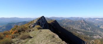
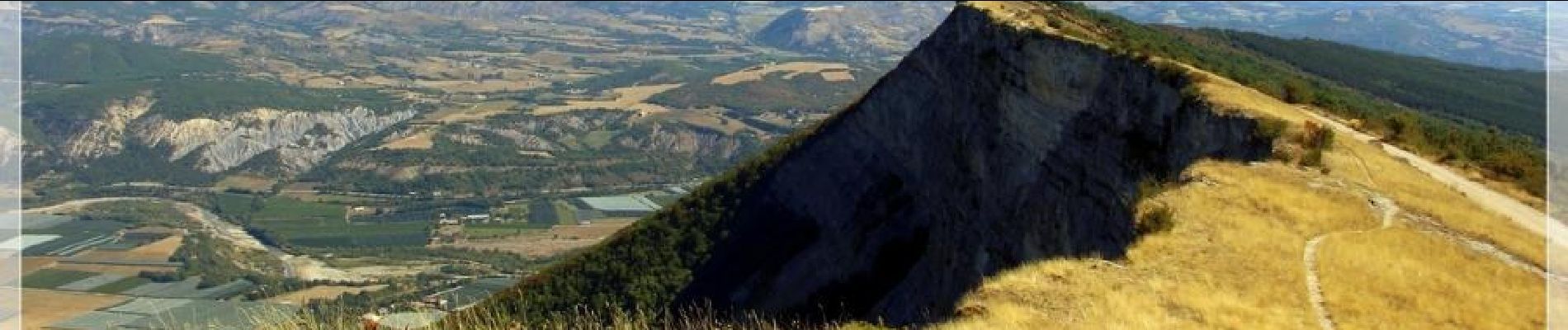
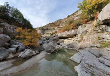
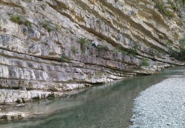
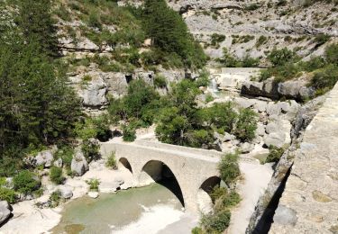
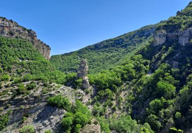
A hike without real difference in altitude that will allow you to enjoy a beautiful view and admire hang gliders and paragliders. To associate with a swim in the gorges Méouge. (see below for the link on the activity)


Walking

Walking

Mountain bike
Walking
Walking
Walking
Walking
Walking
Walking
randonnée très courte pour beaucoup de voiture