


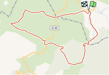

24 km | 43 km-effort

Gebruiker


Gratisgps-wandelapplicatie
 SityTrail
IGN / Geografische instituten
SityTrail World
De wereld gaat voor u open
Tocht Sneeuwschoenen van 6,1 km beschikbaar op Occitanië, Pyrénées-Orientales, Eyne. Deze tocht wordt voorgesteld door tracegps.
Une randonnée raquette en boucle autour du Port de Llo en passant par le Coll de Juvell, la Serra et le Port de Rohet puis la chapelle Sant Miquel.


Stappen

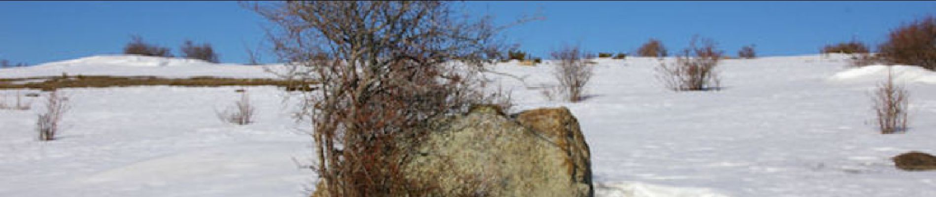
Sneeuwschoenen

Stappen

Sneeuwschoenen

Stappen

Stappen

Stappen

Mountainbike

Stappen