


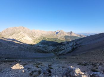
10.8 km | 26 km-effort
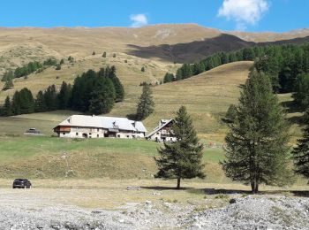
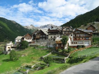
Cervières: Discover the best trails: 3 on foot, 126 walking and 1 nordic walking. All these trails, routes and outdoor activities are available in our SityTrail applications for smartphones and tablets.
Walking


Walking
Walking
Walking
Walking
Walking
Walking
Walking
Walking
Walking
Walking
Walking
Walking
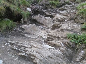
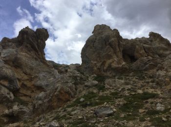
• passage escalade
Walking
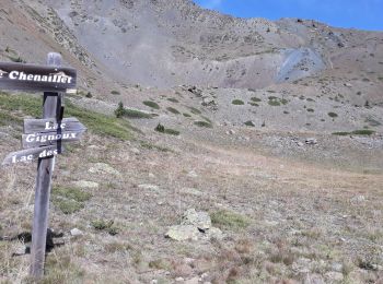
• Depart des laus à Cervieres arrivée col de l'izoard
Walking
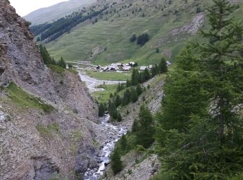
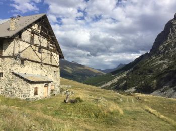
• Depart parking apres le "mur des Aittes "randonnée sans difficulté particulière
Walking
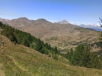
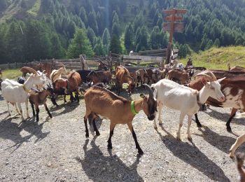
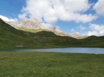
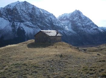
• L'intérêt réside dans le faible dénivelé qui pour autant nous fait découvrir cabane d'alpage, nombreux lacs une demi ...

Walking
• L'intérêt réside dans le faible dénivelé qui pour autant nous fait découvrir cabane d'alpage, nombreux lacs une demi ...
Walking
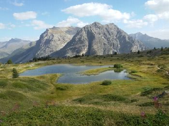
• Randonnée très diversifié. Nombreux lacs, Col, sentier thématique au col du Gondran .Aucune difficultés particulières.
Walking

Walking
20 trails displayed on 130
FREE GPS app for hiking
 SityTrail
IGN / Geographical institutes
SityTrail World
The world is yours!