


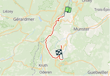

22 km | 31 km-effort

User


FREE GPS app for hiking
 SityTrail
IGN / Geographical institutes
SityTrail World
The world is yours!
Trail Walking of 35 km to be discovered at Grand Est, Haut-Rhin, Stosswihr. This trail is proposed by Schaff.
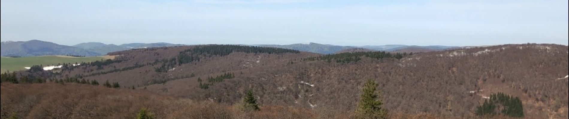
Jour 2 dure avec plaque de neige, passage dur des flancs de montagne. Dur si on est sujet au vertige.


Horseback riding

Horseback riding

Walking

Other activity

Walking

Walking

Walking

Walking

Snowshoes