


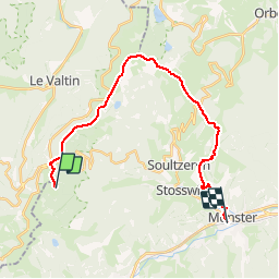

23 km | 36 km-effort

User


FREE GPS app for hiking
 SityTrail
IGN / Geographical institutes
SityTrail World
The world is yours!
Trail Walking of 21 km to be discovered at Grand Est, Haut-Rhin, Stosswihr. This trail is proposed by tracegps.
C’est un bel itinéraire très varié qui alterne forêts et crêtes et combine nature et histoire car il traverse à plusieurs reprises des lieux emblématiques de la ligne de front de la guerre 14/18. Cette escapade est simple à organiser car la première étape se termine au Refuge CAF des 3 fours qui est ouvert et gardé toute l’année. Rando idéale pour meubler un week-end.
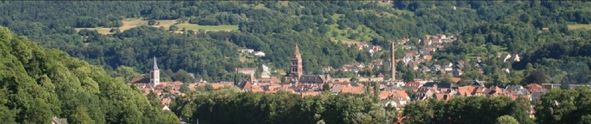
 - Stosswihr - Photo 1")
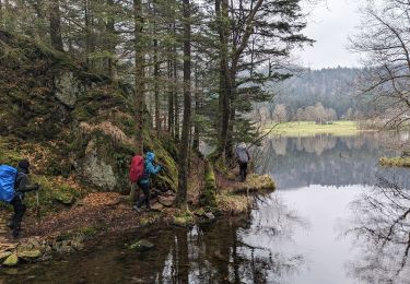
 - Stosswihr - Photo 2")
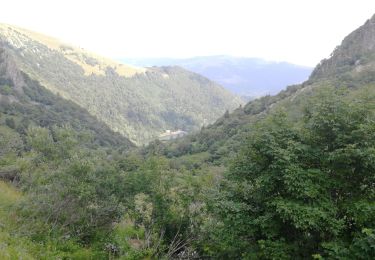
 - Stosswihr - Photo 3")
 - Stosswihr - Photo 4")
 - Stosswihr - Photo 5")
Walking

Walking
Walking

Other activity

Walking

Walking

Walking

Walking

Walking