


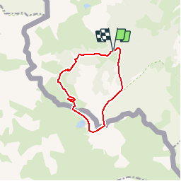

5.4 km | 7.4 km-effort

User


FREE GPS app for hiking
 SityTrail
IGN / Geographical institutes
SityTrail World
The world is yours!
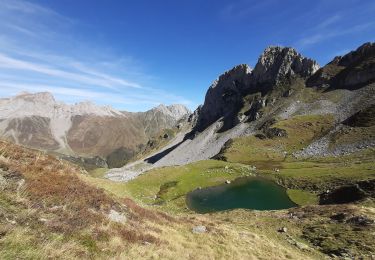
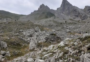
Trail Walking of 10.6 km to be discovered at New Aquitaine, Pyrénées-Atlantiques, Lescun. This trail is proposed by tracegps.
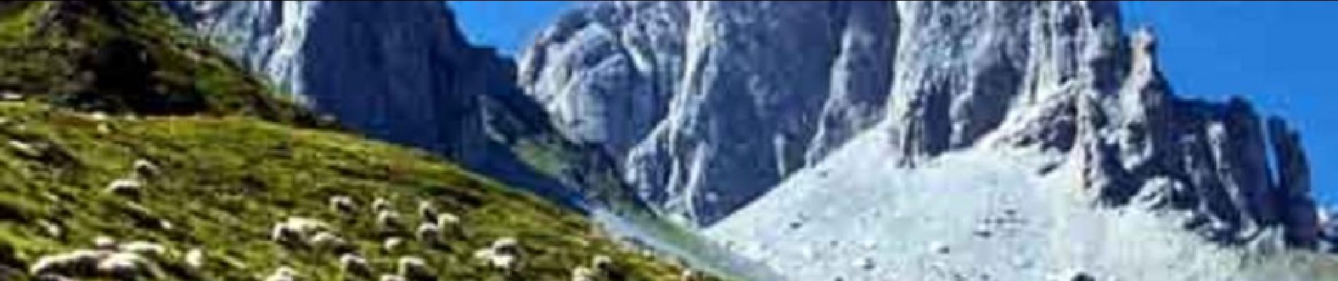
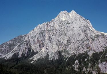
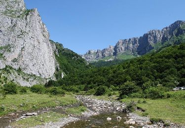
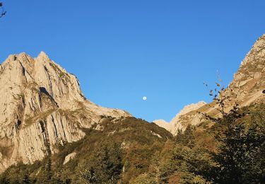
A voir absolument : Les "Demoiselles de calcaire" ! nom donné au fameuses Aiguilles d'Ansabère ! A ne pas manquer ! La description complète, les photos et tout le reste se trouve ICI


Walking

Walking
On foot
On foot
On foot
Walking
Walking
Walking
Walking