


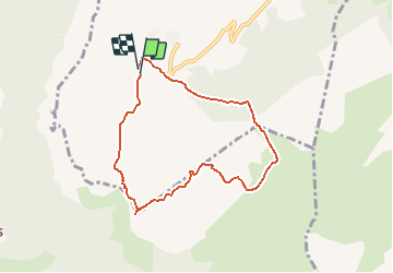

9.7 km | 15.3 km-effort


User


FREE GPS app for hiking
 SityTrail
IGN / Geographical institutes
SityTrail World
The world is yours!
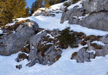
Trail Walking of 7.1 km to be discovered at Auvergne-Rhône-Alpes, Upper Savoy, Brizon. This trail is proposed by norbertmarteau.
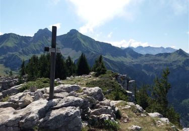
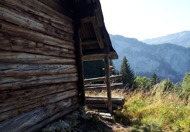
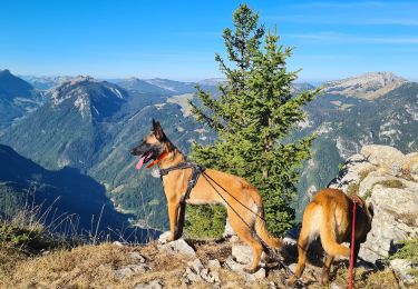
Rochers De Leschaux, descente par la Grotte de la Glacière
Walking

Walking
Walking

Walking

Walking
Walking
Walking
Touring skiing
Touring skiing