


3.7 km | 10.7 km-effort


User


FREE GPS app for hiking
 SityTrail
IGN / Geographical institutes
SityTrail World
The world is yours!
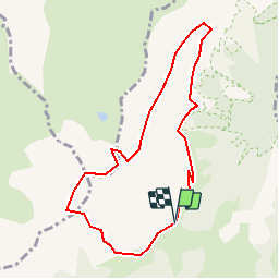
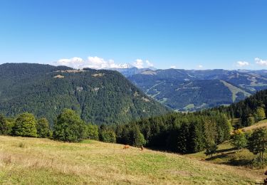
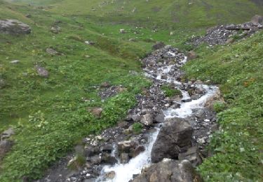
Trail Walking of 8.2 km to be discovered at Auvergne-Rhône-Alpes, Savoy, Ugine. This trail is proposed by tracegps.
Tranquille au début mais plus technique sur la fin. Belle vue sur le lac au sommet et sur le retour une succession de petits cours d'eau animent la progression. 6h00 de rando bien calmé dans la voiture, il ne s'agit pas une sortie non préparée et pour débutants ! La suite est sur Montagne-Cool


Walking
Walking
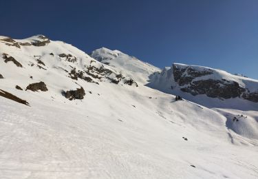
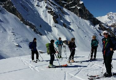
Touring skiing
Walking
Walking
Walking
Walking
Walking
Snowshoes