


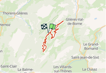

8.8 km | 14.5 km-effort


User


FREE GPS app for hiking
 SityTrail
IGN / Geographical institutes
SityTrail World
The world is yours!
Trail Walking of 23 km to be discovered at Auvergne-Rhône-Alpes, Upper Savoy, Fillière. This trail is proposed by tracegps.
A 30 mn des portes d'Annecy et du bassin de la vallée de l'Arve, venez découvrir l’Espace Nordique du Plateau des Glières pour un grand bol d'air pur ! 28 km de pistes, de tous niveaux, des balades de 1h à 3h entre plateau et forêt, un enneigement exceptionnel et un point culminant des pistes à 1680m.


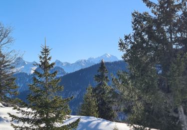
Walking

Walking
Walking
Walking
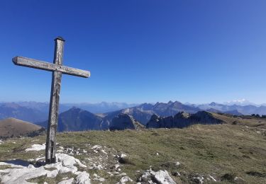
Walking
Walking
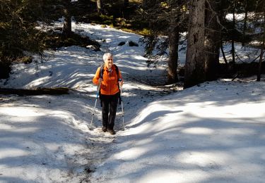
Snowshoes
Walking
Walking