


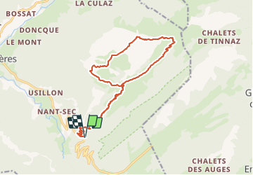

9 km | 15.6 km-effort

User


FREE GPS app for hiking
 SityTrail
IGN / Geographical institutes
SityTrail World
The world is yours!
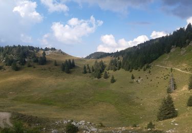
Trail Walking of 18.2 km to be discovered at Auvergne-Rhône-Alpes, Upper Savoy, Fillière. This trail is proposed by djeepee74.
BOUCLE... live du 20231007
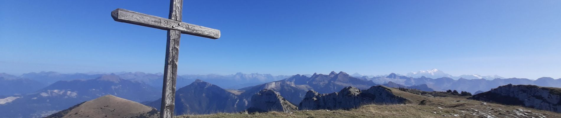
Très jolie randonnée. De bonne heure vous êtes seul-e-s avec les vaches 🥰 . Karine.


Walking

Walking

Walking
Walking
Walking
Walking
Walking
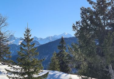
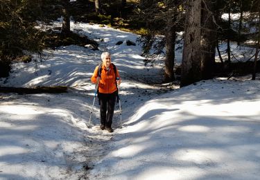
Snowshoes
Walking