


9.9 km | 13 km-effort


User


FREE GPS app for hiking
 SityTrail
IGN / Geographical institutes
SityTrail World
The world is yours!
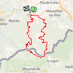
Trail Mountain bike of 42 km to be discovered at Occitania, Pyrénées-Orientales, Céret. This trail is proposed by tracegps.
Départ de Céret très belle population du Vallespir. Le circuit est à cheval sur la France et la Catalogne (Santuari de Les Salines). Il y a un chemin à pied après le refuge (pas trop long).
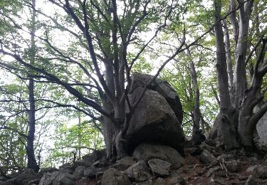
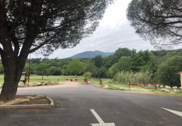
 - Photo 1")
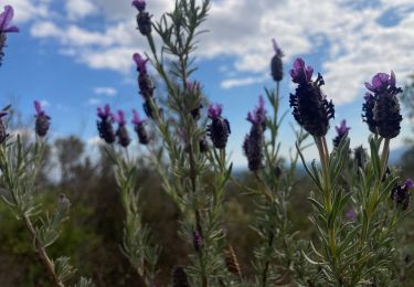
 - Photo 2")
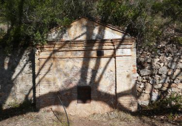
 - Photo 3")
 - Photo 4")
 - Photo 5")
 - Photo 6")

Walking
Walking

Walking

Walking
Walking

Walking
Walking
Walking
Walking