


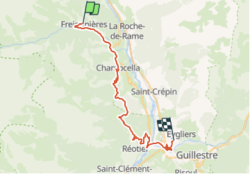

14.7 km | 26 km-effort

User


FREE GPS app for hiking
 SityTrail
IGN / Geographical institutes
SityTrail World
The world is yours!
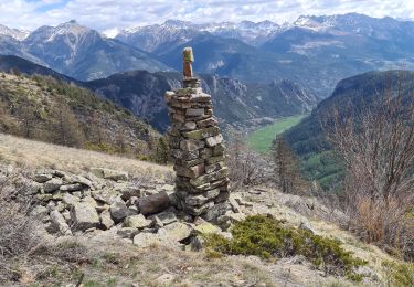
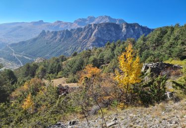
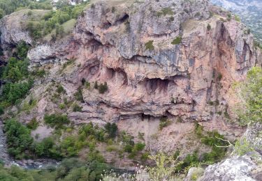
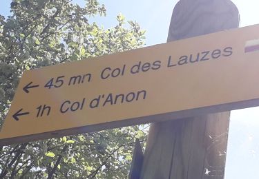
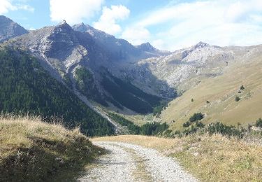
Trail Walking of 25 km to be discovered at Provence-Alpes-Côte d'Azur, Hautes-Alpes, Freissinières. This trail is proposed by tracegps.
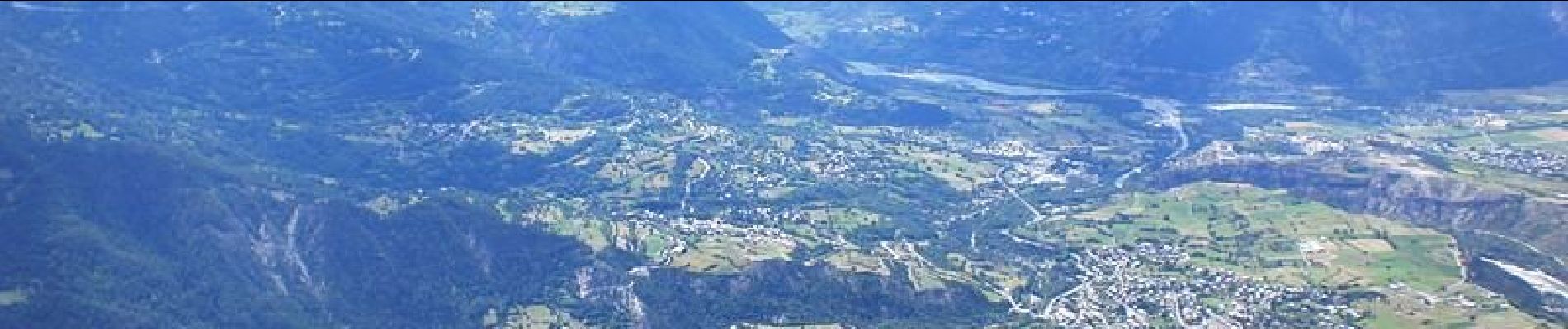
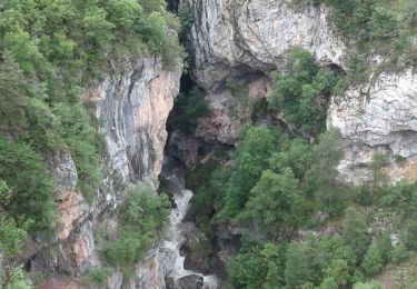
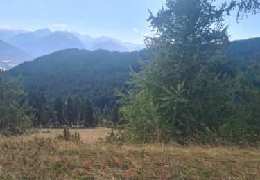
Via Alpina - R130: Freissinières > Mont-Dauphin (Guillestre). Cette étape quitte Freissinières en suivant le GR 50 et traverse plusieurs hameaux de montagne. Puis elle traverse le bois des Fonds du Sap pour descendre à proximité du village de Réotier et sa fontaine pétrifiante, et rejoindre la large vallée de la Durance. Peu après la confluence des rivières du Guil et de la Durance, elle rejoint la place-forte de Mont-Dauphin, point d’étape. Randonnée alpine (passage équipé ou très exposé, névé, blocs). Description complète de l’étape sur Via-Alpina.org.
 - Photo 1")

Walking
Walking

Walking
Mountain bike
Walking
Walking
Walking
Walking
Walking