


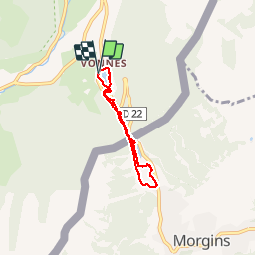


16.5 km | 30 km-effort

User GUIDE


FREE GPS app for hiking
 SityTrail
IGN / Geographical institutes
SityTrail World
The world is yours!
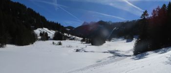
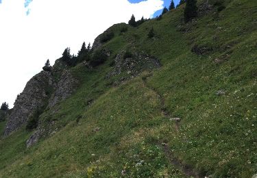
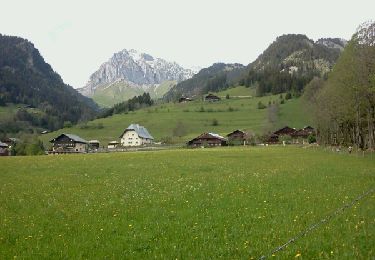
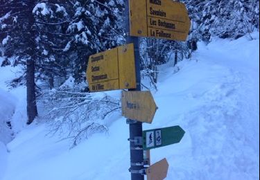
Trail Snowshoes of 5.8 km to be discovered at Auvergne-Rhône-Alpes, Upper Savoy, Châtel. This trail is proposed by pascalou73.
Une randonnée au départ du lac de Vonnes .De Châtel en bus le N 4 de la place de l eglise .Une rando entre le France et la Suisse avec de beaux point de vue sur les dents du midi.le retour par le même chemin .


Walking

Walking

Snowshoes
Walking

Snowshoes

Walking
Other activity
Walking
Snowshoes