


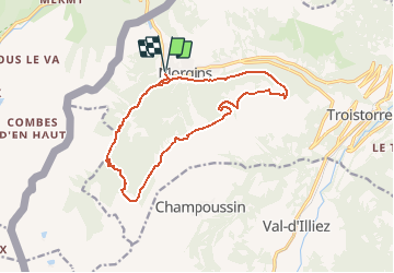


5.7 km | 10.6 km-effort

User


FREE GPS app for hiking
 SityTrail
IGN / Geographical institutes
SityTrail World
The world is yours!
Trail Walking of 15.1 km to be discovered at Valais/Wallis, Monthey, Troistorrents. This trail is proposed by duamerg.
En été aucun problème pour se parquer à Morgins.
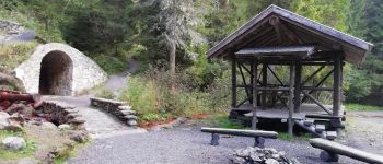
Suivre la viège de Morgins jusqu'à la buvette En Fay. Joli parcours avec plus de 30 ponts et de nombreuses places de picnic.
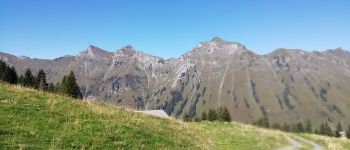
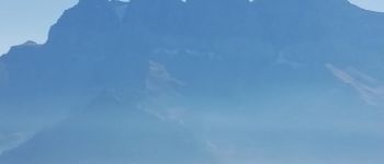
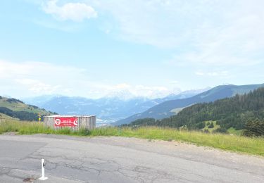
Depuis là les choses se corses avec une bonne grimpée de350m. jusqu'à l'alpage de Bonavau. Belle vue sur les montagnes faisant la frontière avec la France. Continuer jusqu'à Pertuis Chétrain, longer la crête jusqu'à la Truche notre point le plus haut. Belle vue à 360 degrés, idéal pour s'arrêter un moment.
De là on descend jusqu'à l'arrêt du télésiège qui monte de Morgins (pas en service).
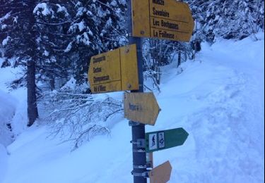
Longer la crête jusqu'à la Foilleuse. La descente sérieuse commence pour rejoindre une route d'alpage. (Possibilité de descendre en direct sur Morgins). Partons à droite pour rejoindre la buvette de Savolaire.
Dernier effort, rejoindre Champarin et suivre jusqu'à Morgins la route d'alpage (1 heure).
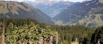
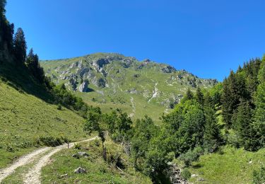
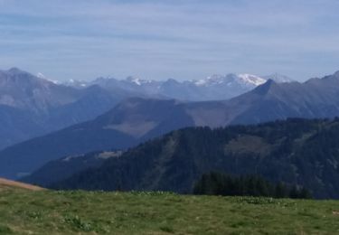
Longue course sans difficultés particulières mais avec une vue superbe sur les Dents-du-Midi et un tout petit Mt. Blanc, ça vaut l'effort.


Snowshoes

Snowshoes
Walking

Snowshoes
Snowshoes
Snowshoes
Mountain bike
Walking

sport