


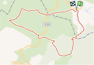

24 km | 43 km-effort

User


FREE GPS app for hiking
 SityTrail
IGN / Geographical institutes
SityTrail World
The world is yours!
Trail Snowshoes of 6.1 km to be discovered at Occitania, Pyrénées-Orientales, Eyne. This trail is proposed by tracegps.
Une randonnée raquette en boucle autour du Port de Llo en passant par le Coll de Juvell, la Serra et le Port de Rohet puis la chapelle Sant Miquel.


Walking

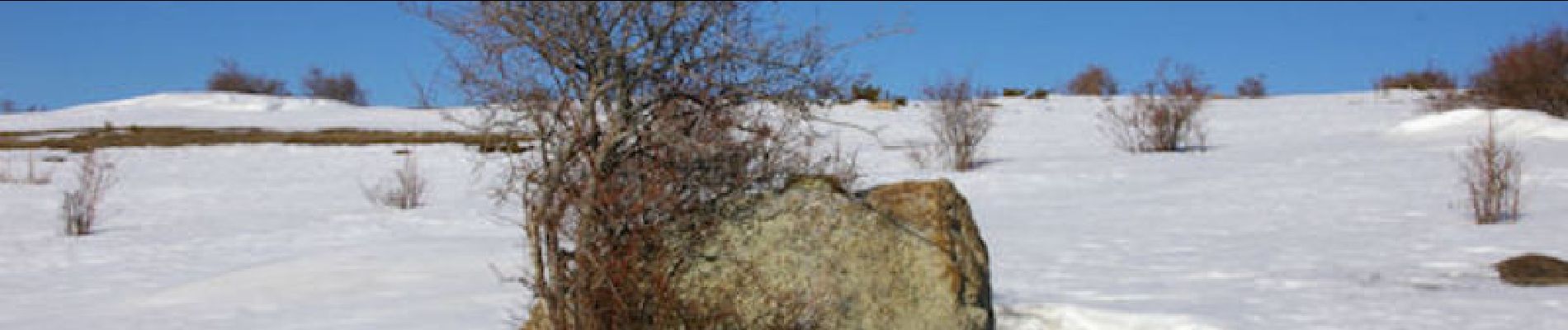
Snowshoes

Walking

Snowshoes

Walking

Walking

Walking

Mountain bike

Walking