


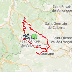


18 km | 28 km-effort


User


FREE GPS app for hiking
 SityTrail
IGN / Geographical institutes
SityTrail World
The world is yours!
Trail Cycle of 81 km to be discovered at Occitania, Gard, Saint-André-de-Valborgne. This trail is proposed by tracegps.
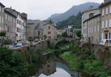
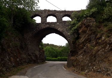
Circuit proposé par Le Parc National des Cévennes. L'art roman marque les nombreuses églises construite de l'an 1000 jusqu'au 13e Siècle, en Europe occidentale. Les églises cévenoles, exception faite des édifices exceptionnels de la vallée du Tarn ou de l'Ardèche sont d'aspect modeste. Mais l'art roman c'est aussi une ambiance : les dimensions réduites, les faibles hauteurs des murs, l'arrondi des voûtes et des arcs. Départ de l'église de Saint André de Valborgne, prés de l'office de Tourisme ou de l'office de Tourisme de Sainte Croix Vallée Française.


Walking

Walking
Walking
Walking

On foot
Walking
Walking

Walking

Walking