


14.5 km | 20 km-effort

User


FREE GPS app for hiking
 SityTrail
IGN / Geographical institutes
SityTrail World
The world is yours!
Trail Cycle of 73 km to be discovered at Bourgogne-Franche-Comté, Jura, Doucier. This trail is proposed by tracegps.
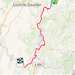
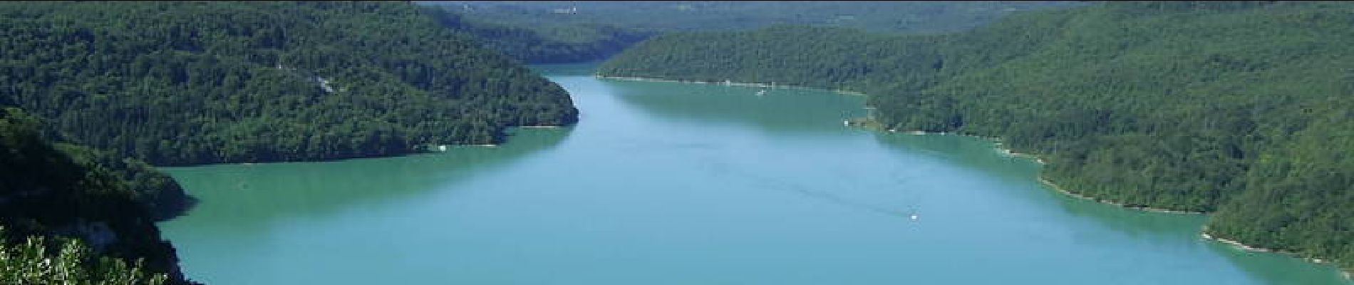
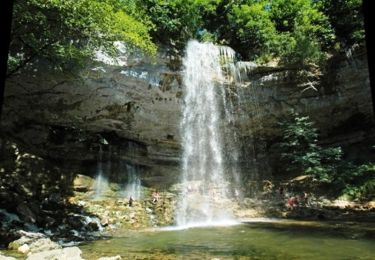
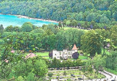
Circuit proposé par l'Office de Tourisme des lacs et petite montagne. Cette boucle de 168 Kilomètres permet en 2 jours de voir les lacs de Chalain, d'Ilay, de Coiselet, de Narlay, de Clairvaux, de Bonlieu ainsi que le lac de Vouglans, long de 35 km qui est le 3ème plus grand lac de retenue de France. Départ de Doucier. Un carnet de 16 fiches cyclo, en vente 5 € à l’Office de Tourisme, propose des circuits cyclo autour des lacs et en Petite Montagne de 15 à 100 km sur des petites routes tranquilles sans trop de dénivelé pour découvrir les curiosités de la région.
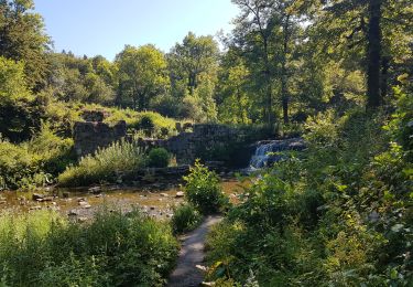
 - Doucier - Photo 1")
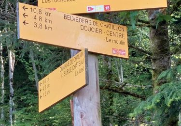
 - Doucier - Photo 2")
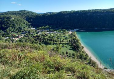
 - Doucier - Photo 3")
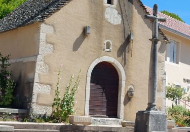
 - Doucier - Photo 4")
 - Doucier - Photo 5")
 - Doucier - Photo 6")

Walking

Walking
Mountain bike
Walking
Walking
Walking
Walking
Walking
On foot