Trail Walking Saint-André-de-Valborgne - Sentier de Pont Marès -  St-André de Valborgne - Photo

Sentier de Pont Marès - St-André de Valborgne

 tracegps
tracegps

User

© OpenStreetMap contributors
Length
Length
8.9 km
Max alt
Max alt
982 m
Uphill gradient
Uphill gradient
472 m
Km-Effort
Km-Effort  
15.2 km
Min alt
Min alt
518 m
Downhill gradient
Downhill gradient
473 m
Boucle
Boucle
Yes
Creation date :
2014-12-10 00:00:00.0
Updated on :
2014-12-10 00:00:00.0

(0 Reviews)

Walking
Walking
3h00
Difficulty : Difficult

Scan this QR Code to open this trail in the SityTrail application

FREE GPS app for hiking

Logo SityTrail SityTrail

IGN / Geographical institutes

Download SityTrail from the App Store Download SityTrail from Google Play

Logo SityTrail SityTrail World

The world is yours!

Download SityTrail from the App Store Download SityTrail from Google Play Download SityTrail on Huawei AppGallery

About

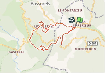
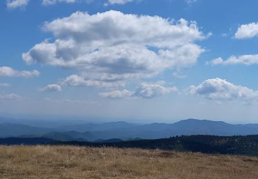
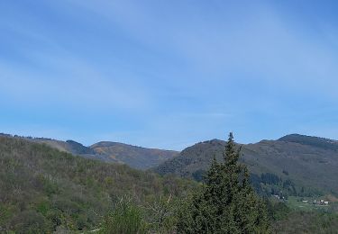
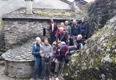
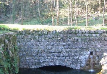
Trail Walking of 8.9 km to be discovered at Occitania, Gard, Saint-André-de-Valborgne. This trail is proposed by tracegps.

Description

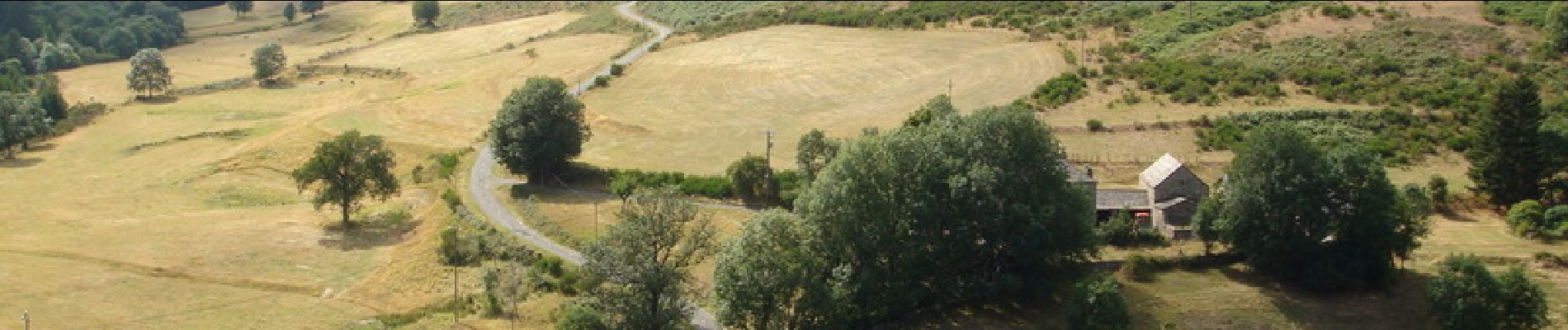
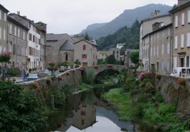
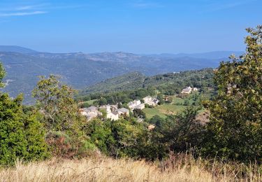
Circuit proposé par l'Office de Tourisme de la Vallée Borgne. Ce sentier offre une promenade aux attraits variés : proximité du Gardon avec de multiples piscines naturelles, balade dans les sous-bois, passage à proximité d’un château médiéval, puis accès au Col Salidès, terre de transhumance, avant de redescendre au Pont Marès. Certaines portions présentent un fort dénivelé et doivent être évitées en cas de pluie. Départ de Pont Marès. La pochette de 15 circuits balisés est en vente 5 € à l’Office de Tourisme de la Vallée Borgne. L’Office de Tourisme est ouvert toute l'année. Vous trouverez sur place de quoi se restaurer et dormir.

Elevation profile

Photos

Positioning

Country:
France
Region :
Occitania
Department/Province :
Gard
Municipality :
Saint-André-de-Valborgne
Location:
Unknown
Start:(UTM)
551633 ; 4890925 (31T) N.

Trails nearby

Trail Walking Saint-André-de-Valborgne - Sentier du col Salidès - Saint André de Valborgne - Photo
Walking
tracegps

Walking

Very difficult
(2)
Saint-André-de-Valborgne, Occitania, Gard, France
18 km | 28 km-effort
6h 0min
Yes
Trail Walking Le Pompidou - Le Pompidou à l'Hospitalet  - Photo
Walking
GUIDE
nadinebondoux

Walking

Difficult
(1)
Le Pompidou, Occitania, Lozère, France
18.5 km | 26 km-effort
5h 34min
Yes
Trail Walking Bassurels - Aigoual versant Lozérien - Photo
Walking
GUIDE
nadinebondoux

Walking

Difficult
Bassurels, Occitania, Lozère, France
15 km | 22 km-effort
4h 42min
No
Trail Walking Saint-André-de-Valborgne - Col du Salidès  - Photo
Walking
GUIDE
nadinebondoux

Walking

Difficult
Saint-André-de-Valborgne, Occitania, Gard, France
18.9 km | 28 km-effort
5h 32min
Yes
Trail Walking Saint-André-de-Valborgne - vallée Borgne - Photo
Walking
GUIDE
nadinebondoux

Walking

Difficult
Saint-André-de-Valborgne, Occitania, Gard, France
18.7 km | 30 km-effort
5h 44min
Yes
Trail Walking Saint-André-de-Valborgne - vallée Borgne - Photo
Walking
GUIDE
nadinebondoux

Walking

Difficult
Saint-André-de-Valborgne, Occitania, Gard, France
18.7 km | 30 km-effort
5h 44min
Yes
Trail Walking Bassurels - Aire de Côte - Mas Corbières - Photo
Walking
jeanluc.smets

Walking

Medium
(1)
Bassurels, Occitania, Lozère, France
13.9 km | 20 km-effort
4h 5min
No
Trail Walking Le Pompidou - Vallon de St Flour - Photo
Walking
campingmasdelacam

Walking

Easy
Le Pompidou, Occitania, Lozère, France
5.6 km | 8.6 km-effort
1h 25min
Yes
Trail Walking Saint-André-de-Valborgne - Sentier du Laquet - Saint André de Valborgne - Photo
Walking
tracegps

Walking

Medium
Saint-André-de-Valborgne, Occitania, Gard, France
7.7 km | 12 km-effort
3h 0min
Yes


Close
My subscriptions