Trail Walking Urbeis - Le château du Bilstein - Photo

Le château du Bilstein

© OpenStreetMap contributors
Length
Length
14.5 km
Max alt
Max alt
694 m
Uphill gradient
Uphill gradient
499 m
Km-Effort
Km-Effort  
21 km
Min alt
Min alt
385 m
Downhill gradient
Downhill gradient
500 m
Boucle
Boucle
Yes
Creation date :
2014-12-10 00:00:00.0
Updated on :
2014-12-10 00:00:00.0

(1 Reviews)

Walking
Walking
4h25
Difficulty : Medium

Scan this QR Code to open this trail in the SityTrail application

FREE GPS app for hiking

Logo SityTrail SityTrail

IGN / Geographical institutes

Download SityTrail from the App Store Download SityTrail from Google Play

Logo SityTrail SityTrail World

The world is yours!

Download SityTrail from the App Store Download SityTrail from Google Play Download SityTrail on Huawei AppGallery

About

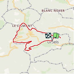
Trail Walking of 14.5 km to be discovered at Grand Est, Bas-Rhin, Urbeis. This trail is proposed by VacheKiri67.

Description

Balisage : chevalet vert - chevalet jaune - anneau jaune - triangle vert.
Faite le 02/09/2012 en 4h25 (dont 0h35 de pauses) avec notre fils de 8 ans.
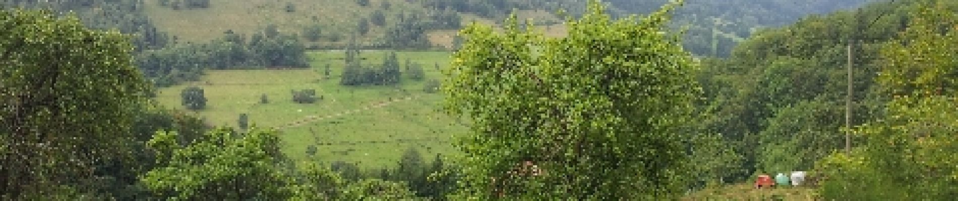
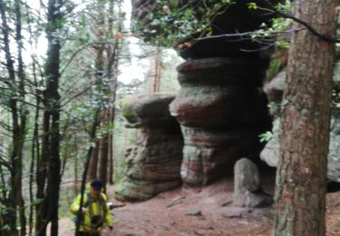
Rude montée dès le départ les 600 premiers mètres. L'aller-retour à la mine Théophile n'apporte rien.
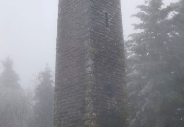
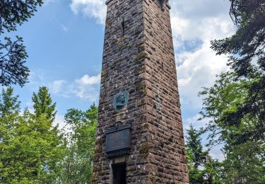
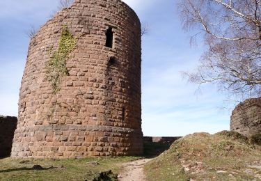
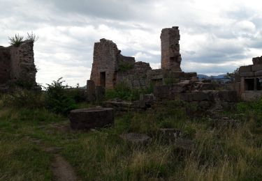
Plus de détails : Passion Vosges - Alsace centrale N°18 Page 78 "Le château du Bilstein".

Elevation profile

Photos

Positioning

Country:
France
Region :
Grand Est
Department/Province :
Bas-Rhin
Municipality :
Urbeis
Location:
Unknown
Start:(UTM)
368326 ; 5354077 (32U) N.

Comments

Please log in to post a review or rate the element


Trails nearby

Trail Walking Steige - Steige  blanc  - Photo
Walking
jean charles daniel.

Walking

Medium
(1)
Steige, Grand Est, Bas-Rhin, France
7.8 km | 12.6 km-effort
2h 7min
Yes
Trail Walking Saint-Martin - 17.05.2020 - Saint Martin  - Photo
Walking
delm

Walking

Easy
(1)
Saint-Martin, Grand Est, Bas-Rhin, France
12.2 km | 17.7 km-effort
3h 56min
Yes
Trail Walking Ranrupt - 2018-12-30 Marche Climont Voyemont - Photo
Walking
GUIDE
holtzv

Walking

Very easy
Ranrupt, Grand Est, Bas-Rhin, France
22 km | 33 km-effort
7h 21min
Yes
Trail Mountain bike Maisonsgoutte - Honel - Photo
Mountain bike
sanseya

Mountain bike

Medium
(1)
Maisonsgoutte, Grand Est, Bas-Rhin, France
15 km | 22 km-effort
1h 26min
Yes
Trail Walking Ranrupt - 2023-06-04 Marche Col de Steige Tour du Climont - Photo
Walking
GUIDE
holtzv

Walking

Easy
Ranrupt, Grand Est, Bas-Rhin, France
14.5 km | 24 km-effort
5h 28min
Yes
Trail Walking Breitenau - 20230309_BREITENAU_rando_Breitenau_Le Rocher du Coucou - Le Château du Frankenbourg - Photo
Walking
nfranche

Walking

Medium
Breitenau, Grand Est, Bas-Rhin, France
14.5 km | 24 km-effort
5h 24min
Yes
Trail Walking Rombach-le-Franc - Col de Fouchy  - Photo
Walking
apa

Walking

Medium
Rombach-le-Franc, Grand Est, Haut-Rhin, France
11.8 km | 17.6 km-effort
3h 23min
Yes
Trail Walking Breitenau - xc 191017 cv breitenau  - Photo
Walking
xc

Walking

Very easy
(1)
Breitenau, Grand Est, Bas-Rhin, France
11.9 km | 18.3 km-effort
5h 6min
No
Trail Walking Rombach-le-Franc - Col de Fouchy - Photo
Walking
LUTZMarc

Walking

Medium
Rombach-le-Franc, Grand Est, Haut-Rhin, France
20 km | 29 km-effort
4h 47min
Yes


Close
My subscriptions