


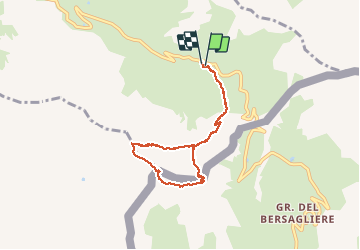

13.1 km | 23 km-effort


User GUIDE


FREE GPS app for hiking
 SityTrail
IGN / Geographical institutes
SityTrail World
The world is yours!
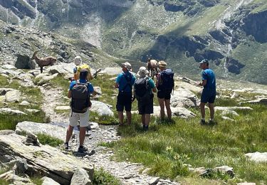
Trail Walking of 7 km to be discovered at Provence-Alpes-Côte d'Azur, Hautes-Alpes, Molines-en-Queyras. This trail is proposed by R@ph.
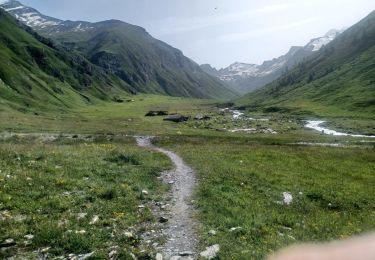
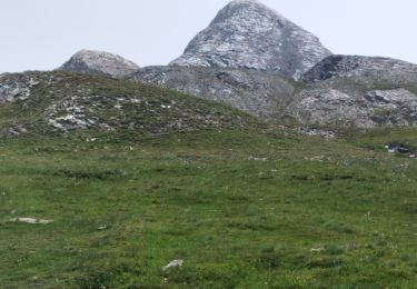
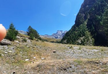
Marche au départ du refuge Agnel en direction du col de Chamoussière. En cours de marche, en raison de présence de glace sur le chemin, nous avons coupé dans la pente très raide pour atteindre la stèle Pierre ESCALLIER, décédé lors d'une randonnée à ski en 2005, se trouvant sous le pic à 3033m. Attention passage difficile lors du changement de versant, à pic impressionnant. Le soleil aidant, nous sommes revenus par le versant italien bien exposé au soleil en direction du pic Caramantran et par le col de Chamoussière.

Walking

Walking

Walking

Walking

Walking
Walking
Walking
Walking
Walking