


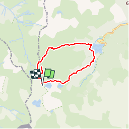

14.1 km | 24 km-effort


User


FREE GPS app for hiking
 SityTrail
IGN / Geographical institutes
SityTrail World
The world is yours!
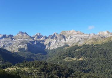
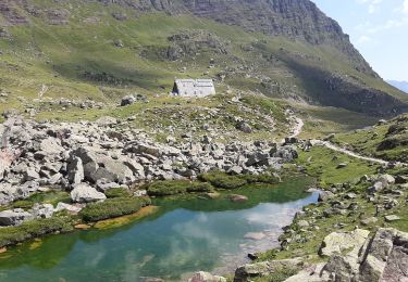
Trail Walking of 13.1 km to be discovered at New Aquitaine, Pyrénées-Atlantiques, Laruns. This trail is proposed by jujube007.
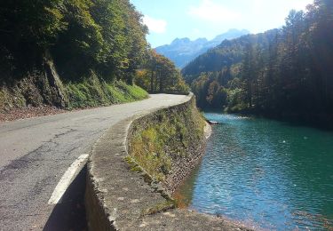
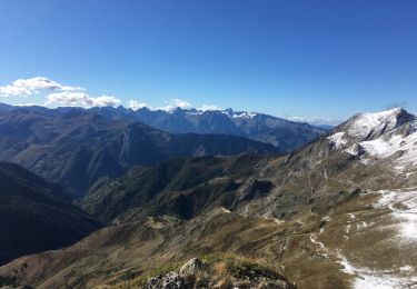
pic d'ayous- col d'aas de bielle - lac de bious artigues - lac roumassot - lac gentau

Walking

Walking
On foot
On foot
Walking
Walking
Walking
Walking

Walking