


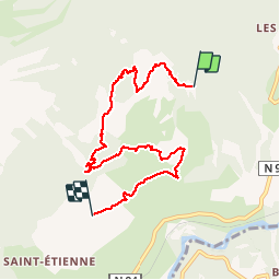

8.8 km | 12.4 km-effort


User


FREE GPS app for hiking
 SityTrail
IGN / Geographical institutes
SityTrail World
The world is yours!
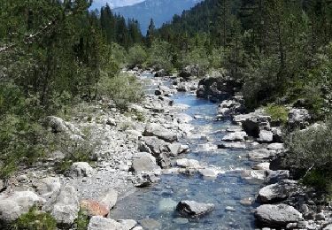
Trail Walking of 7.6 km to be discovered at Provence-Alpes-Côte d'Azur, Hautes-Alpes, Châteauroux-les-Alpes. This trail is proposed by BLANCHET.
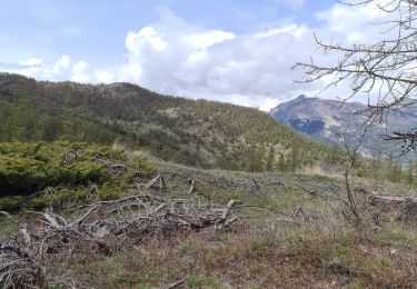
ballade en
sous bois


Walking
Walking
Walking
Walking
Walking
Walking
Walking
Walking
Walking
Aller-retour sans le passage par le champ Sicard et sans longer à flan de montagne vers Saint Alban Balade de Guy le 2 /12/2021