


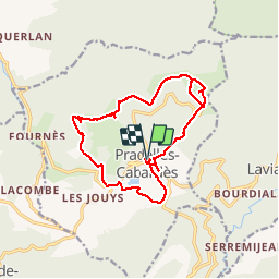

6.4 km | 10 km-effort


FREE GPS app for hiking
 SityTrail
IGN / Geographical institutes
SityTrail World
The world is yours!
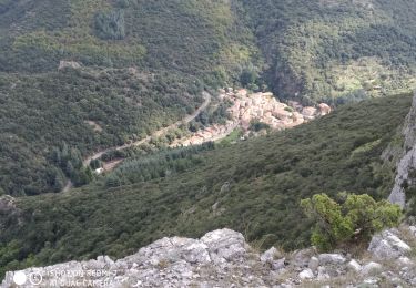
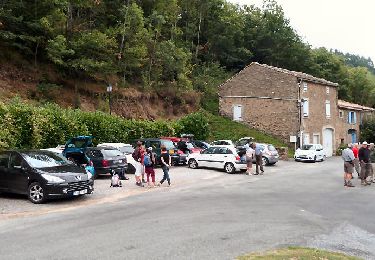
Trail Walking of 16.7 km to be discovered at Occitania, Aude, Pradelles-Cabardès. This trail is proposed by percy_calderon@hotmail.com.

Walking
On foot
On foot
On foot

On foot
On foot

On foot
On foot
Walking