


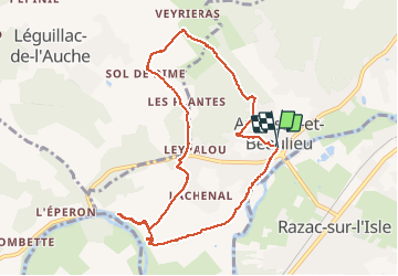


11.4 km | 14.3 km-effort


User


FREE GPS app for hiking
 SityTrail
IGN / Geographical institutes
SityTrail World
The world is yours!
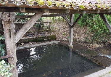
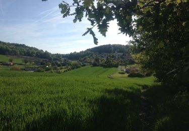
Trail Walking of 9.6 km to be discovered at New Aquitaine, Dordogne, Annesse-et-Beaulieu. This trail is proposed by ml24.
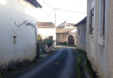
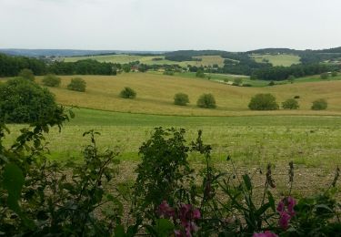
Un peu trop de route, mais la fin de la rando sur les bords du canal est tres agréable.
Walking

Walking
Walking

Walking

Walking

Walking
Walking
Walking
Walking