


7.2 km | 7.6 km-effort


User


FREE GPS app for hiking
 SityTrail
IGN / Geographical institutes
SityTrail World
The world is yours!
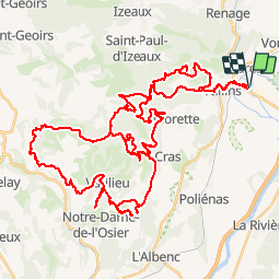
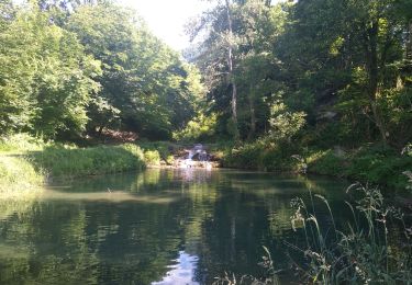
Trail Motor of 68 km to be discovered at Auvergne-Rhône-Alpes, Isère, Tullins. This trail is proposed by lolo38.

Walking
Walking
Walking
Walking
Walking
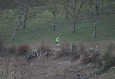
Running


sport
Walking
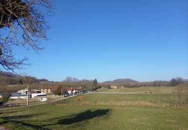
Walking
Merci de préciser le type de véhicule utilisé. Itinéraire testé ce jour avec Patrol depuis Notre Dame de l'Osier. Le début bien puis catastrophe éviter de justesse et demi-tour miraculeux.