


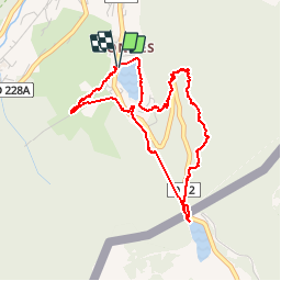

16.5 km | 30 km-effort

User


FREE GPS app for hiking
 SityTrail
IGN / Geographical institutes
SityTrail World
The world is yours!
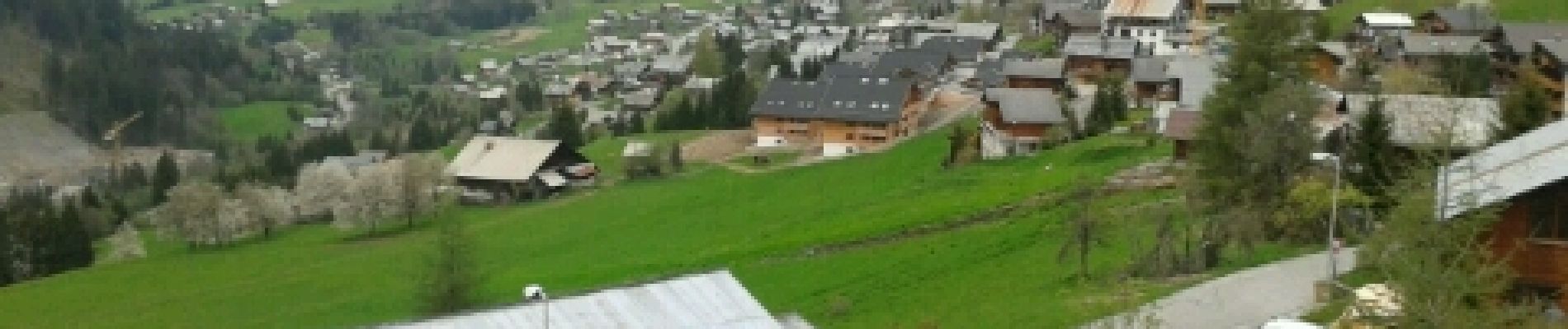
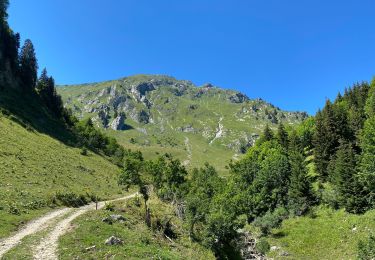
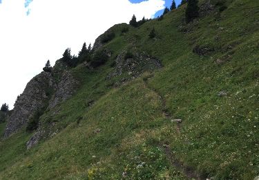
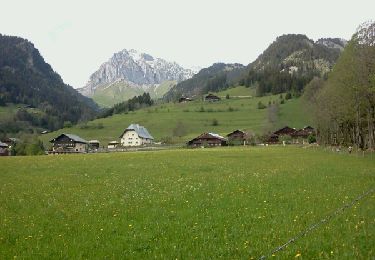
Trail Walking of 4.5 km to be discovered at Auvergne-Rhône-Alpes, Upper Savoy, Châtel. This trail is proposed by alaindurbecq.
Balade facile qui relie les 2 plans d'eau surmontant Châtel


Walking

Walking

Snowshoes

Snowshoes
Walking

Snowshoes

Walking
Other activity
Walking